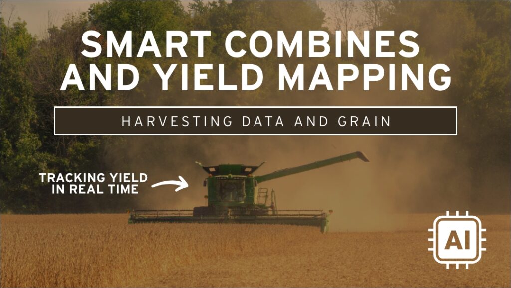
Technology on the Farm: Smart Combines & Yield Mapping
Did you know?
Modern combines can measure how much grain is harvested from every part of a field — while they’re working!
What is it?
A combine harvester is the machine that cuts, threshes, and separates grain crops like barley, corn, oats, soybeans, and wheat. Today’s “smart combines” have built-in sensors and GPS that track:
- How much grain is harvested based on the weight of the harvested grain
- Grain quality (like moisture content, protein levels etc.)
- Where crop yields (how much is produced) are highest or lowest across a field
This data creates a yield map — a colourful map that shows how crops grew across the field, and where in the field the crops produced more or less, harvested seeds.
Why is it useful?
- Pinpoints problems – shows where soil might be poor, too wet, or missing nutrients that impacts the grains plant’s ability to grow, and ultimately produce seeds.
- Helps with planning – farmers plan management decisions for the next year based on this growing season data.
- Saves money & protects the environment – inputs like fertilizer or pesticides are only used where needed
- Tracks long-term changes – farmers see how soil and crops improve over time, especially as they implement different sustainable practises.
- Tracks fuel consumption and soil impact for sustainable farming
Do they replace farmers?
No. Farmers still drive combines (though they may have auto-steering). The machine collects data, but farmers interpret the maps and make decisions for future planting. Farmers have a lot of decisions to make on their farms – and a lot of variables that impact what choices they make. Having the ability to collect and analyze data helps #YourFarmers make sustainable, efficient and choices that will positively impact their farm businesses.
Fun Facts for Students
- Some combines are bigger than a school bus and cost as much as a house!
- Yield maps look like colourful heat maps, showing “hot spots” where crops grow best.
- Farmers can layer yield maps with satellite images and soil maps to get a full picture of their fields.
Big Picture
Smart combines turn harvesting into a learning opportunity. Every season, farmers gather new information to make their farms more productive and sustainable.
Check out these videos!
Minds-On Questions (pick one):
- Why might two parts of the same grain field grow crops differently?
- How could yield maps help farmers use fertilizer or water more wisely?
- If you could map something at school (like playground use or cafeteria waste), what would you choose and why?
Connections
Fall harvest for educators – Good in Every Grain