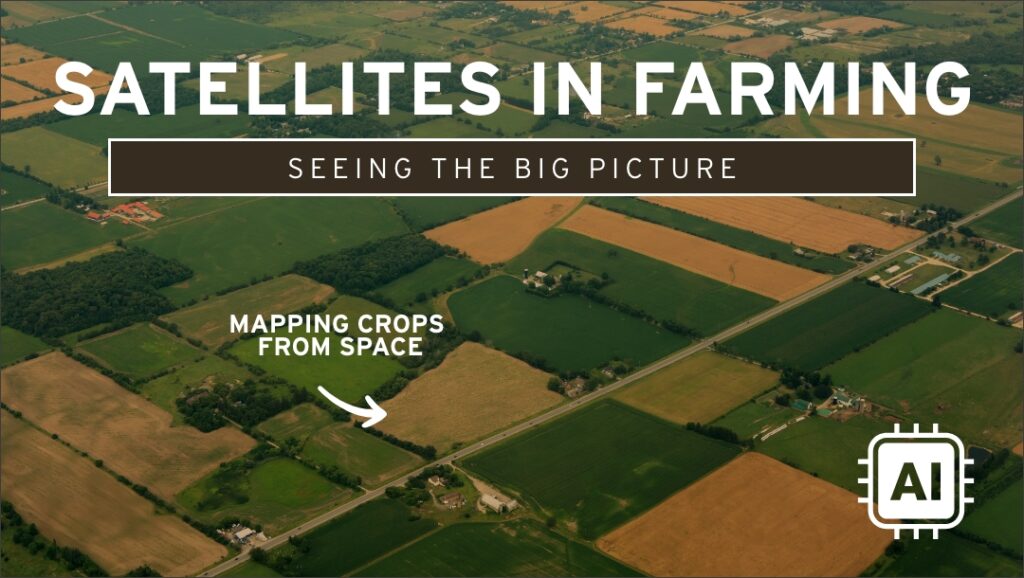
Technology on the farm: Satellites in farming
Did you know?
Farmers can use satellites in space to help care for Ontario’s grains without ever leaving the field!
What do satellites do for farming?
Farmers don’t have their own satellites, but they use satellite images to see things that are hard or impossible to spot from the ground. Satellites can measure soil conditions to a depth of 5 cm and detect:
- Soil moisture – how wet or dry different parts of the field are
- Temperature – both ground and air
- Drainage patterns – how water moves through the soil
- Ground movement – changes in the surface of the land
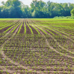
- Plant health – can visually show plant stress or pest (insect, disease or weed) infestations in the field
Why are satellites useful?
- Big-picture view – satellites capture images of entire fields at once
- Early warnings – farmers can spot problems (like stress or pest [insect, disease or weed] infestations, drought or flooding conditions etc) before they become serious
- Save time and resources – farmers can focus their attention and resources on areas that need attention the most
- Support sustainability – satellites help give farmers a “birds eye view” of their grain fields to help them make management decisions that will support sustainable farming practises like planting cover crops or reducing tillage.
Do satellites replace farmers?
No. Satellites provide data and images, but farmers use their knowledge and expertise to interpret the information, make decisions, and care for grains.
Fun facts for students
- Satellites orbit hundreds and even thousands of kilometers above Earth, yet they can detect changes smaller than a single plant leaf.
- Farmers can check satellite maps on their phones, just like using a weather app.
- Satellites are also used to predict harvest times and offer insight into their health of the entire field with detailed images.
Big picture
Satellite imagery is a powerful tool that helps grain farmers see the invisible details of their very large fields. By combining satellite images with on-the-ground knowledge, farmers can grow food more efficiently and protect the environment.
📽️ Check out these videos!
Minds-on questions (pick one):
- Why do you think grain farmers need to see things from space that they can’t see from the ground?
- If you had access to satellite images of your schoolyard, what would you look for?
- How might satellites help farmers use less water and fertilizer?
- What other jobs (besides farming) do you think satellites could be useful for?
Connections
- Coding: addressing real-world problems for farmers (lesson plan) – Good in Every Grain
- Draw With Rob Episode 3 – Tractors… in Spaaaace! – Good in Every Grain
- Agriculture in the satellite age | Canadian Space Agency
- Prescription and yield map from satellite images: soil fertility zones of farms (fast and reliable!) (2:39; may be too complicated for younger students)